New study finds 14.6 million U.S. homes face flood risk beyond FEMA maps
Researchers created a detailed scoring system for Houston homes to show why identical neighborhoods can contain vastly different levels of vulnerability.
By Isabella Castillo ·
Researchers at Rice University and Arizona State University have identified 14.6 million U.S. properties that face higher flood risks than federal maps indicate. The team, which included Yilei Yu, Dylan Connor, and James R. Elliott, published their findings in the journal Applied Geography. Their analysis suggests that approximately 6 million more homes are at risk than what FEMA’s current 100-year flood maps display. Many of these official maps are outdated, with some being two decades old, and they typically rely on historical data rather than future projections.
The new research argues that flood maps only answer one question: will water reach a neighborhood? They do not assess the specific risks of an individual home. To address this gap, the team built a detailed flood risk score for nearly 1 million homes in Houston. They combined four types of data: probable flood depth, building age and quality, local traffic congestion, and financial recovery factors such as repair costs and insurance coverage.
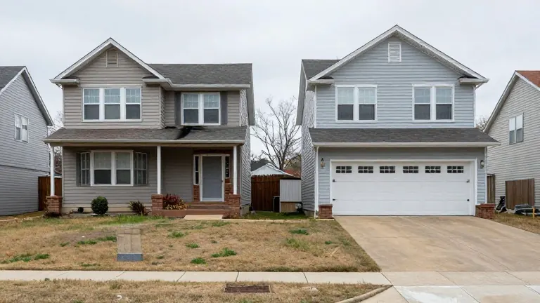
In Houston, previous research showed that more than half of 100,000 documented flood-prone buildings lie outside official flood boundaries. These overlooked homes are often in poor condition and lack insurance. The new study highlights that two houses on the same street can face radically different outcomes. A newer, well-maintained home with insurance may recover quickly, while an older, uninsured home in a lower position on the same street may suffer severe damage. This variance means neighborhood averages often mask the true risk at the individual property level.
The researchers found that flood vulnerability scores differed more from house to house within a single neighborhood than from one neighborhood to the next. This suggests that a neighborhood appearing safe on average may still contain some of the county’s riskiest homes. Conversely, a risky neighborhood may contain many well-protected properties. The problem, the study indicates, lies at the scale of individual buildings rather than broad geographic zones.
Homeowners can begin assessing their specific risks by checking local property records for building age and having an inspector evaluate the home’s condition. Residents should also ask neighbors or the city flood plain office if the street has flooded before. It is important to verify flood insurance coverage, as most standard homeowner policies do not cover flood damage. Communities can use similar address-level data to target limited funds for drainage improvements and flood-proofing where the need is greatest.
The data used for the Houston analysis exists across much of the United States, allowing other flood-prone cities to adopt the same approach. Local officials can use these detailed scores to make more informed decisions about where to invest in flood protection. This method helps ensure that resources go to the homes most likely to suffer when floodwaters rise, rather than relying solely on broad map zones.
Source: Cobb County Courier · original report published